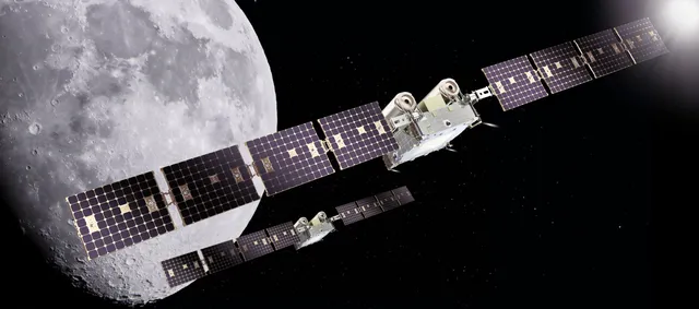
In April 2026, four astronauts flew around the Moon for the first time in more than 50 years — and for the first time in history, anyone could follow their spacecraft from a phone in near real time. The next mission, Artemis III, is planned for 2027. Here is how NASA's tracker works, what is already known about the next flight, and what viewers can expect.
What AROW is and how it works
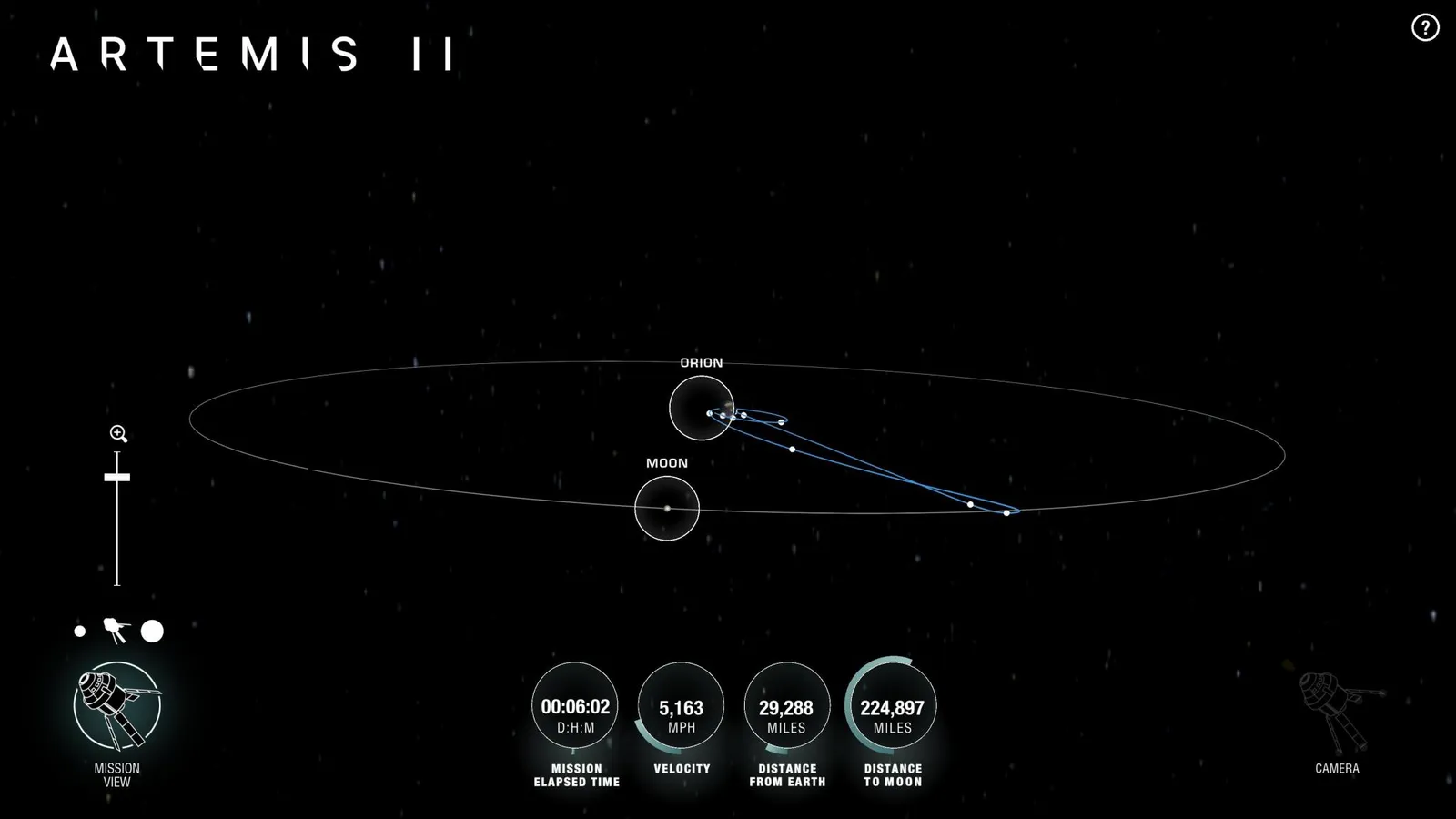
For Artemis II, NASA launched AROW (Artemis Real-time Orbit Website) — a website plus a mode in the NASA mobile app that showed the Orion spacecraft's position relative to Earth and the Moon. It is not a scheduled animation: sensors aboard Orion send telemetry to Mission Control in Houston, and from there the data reaches the page with almost no delay.
On screen: the distance to Earth and to the Moon, mission elapsed time, the trajectory and key mission milestones. The app adds an augmented reality mode — after a short calibration it shows where to point your phone to "see" the direction toward the spacecraft in the sky above you. For developers and visual artists, NASA publishes state vectors and the full flight ephemeris.
Tracking starts about a minute after liftoff and runs until atmospheric reentry — the whole flight, from launch to splashdown.
Artemis II: how it went
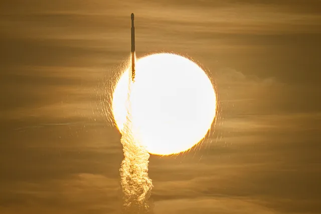
The SLS rocket with Orion lifted off from Launch Pad 39B at Kennedy Space Center on April 1, 2026 at 6:35 p.m. EDT. Aboard were commander Reid Wiseman, pilot Victor Glover, mission specialist Christina Koch (all NASA) and Canadian astronaut Jeremy Hansen (CSA).
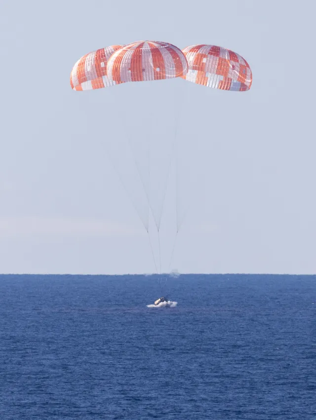
Over nearly 10 days the crew flew around the Moon, saw its far side and travelled 252,756 miles (over 406,000 km) from Earth — farther than anyone in history, Apollo 13 included. On April 10, Orion splashed down in the Pacific off San Diego, just 2.9 miles from the target point. In NASA's initial assessment published on April 20, the heat shield performed far better than on Artemis I: char loss was significantly reduced in both quantity and size.
Artemis III: what changes in 2027
On February 27, 2026, NASA reshuffled the program's flight sequence. Artemis III no longer goes to the Moon: it will be a roughly two-week mission in low Earth orbit, while the first landing near the lunar South Pole moves to Artemis IV in 2028.
Artemis III's job is to rehearse what a landing cannot happen without: rendezvous and docking of Orion with test versions of the Blue Origin and SpaceX landers, joint operation of the communications, propulsion and life-support systems, and the crew moving into the lander.
The crew was announced on June 9, 2026: commander Randy Bresnik, pilot Luca Parmitano (ESA), mission specialists Andre Douglas and Frank Rubio; backup — Bob Hines. The target is 2027; NASA has not yet named an exact launch window.
Where to follow Artemis III
NASA's tracker. The agency has not announced a dedicated tracker for Artemis III yet. For Artemis II it was AROW, and the mission page is where to look for updates closer to launch.
Live broadcasts. Launch, docking and return are streamed on NASA+ and YouTube with live commentary.
With your own eyes. Orion will operate in low Earth orbit, roughly like the ISS, so with a favourable orbit the spacecraft may be visible to the naked eye at dawn or dusk. Once NASA publishes the orbital data, we will add passes over Ukraine to our sky calendar.
This page is updated as official Artemis III news arrives. Its first version (March 2026) covered the launch of the AROW tracker.