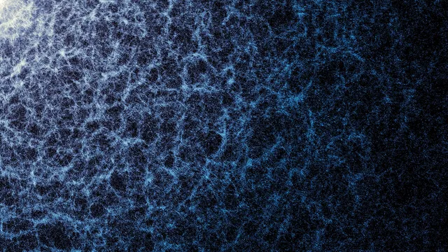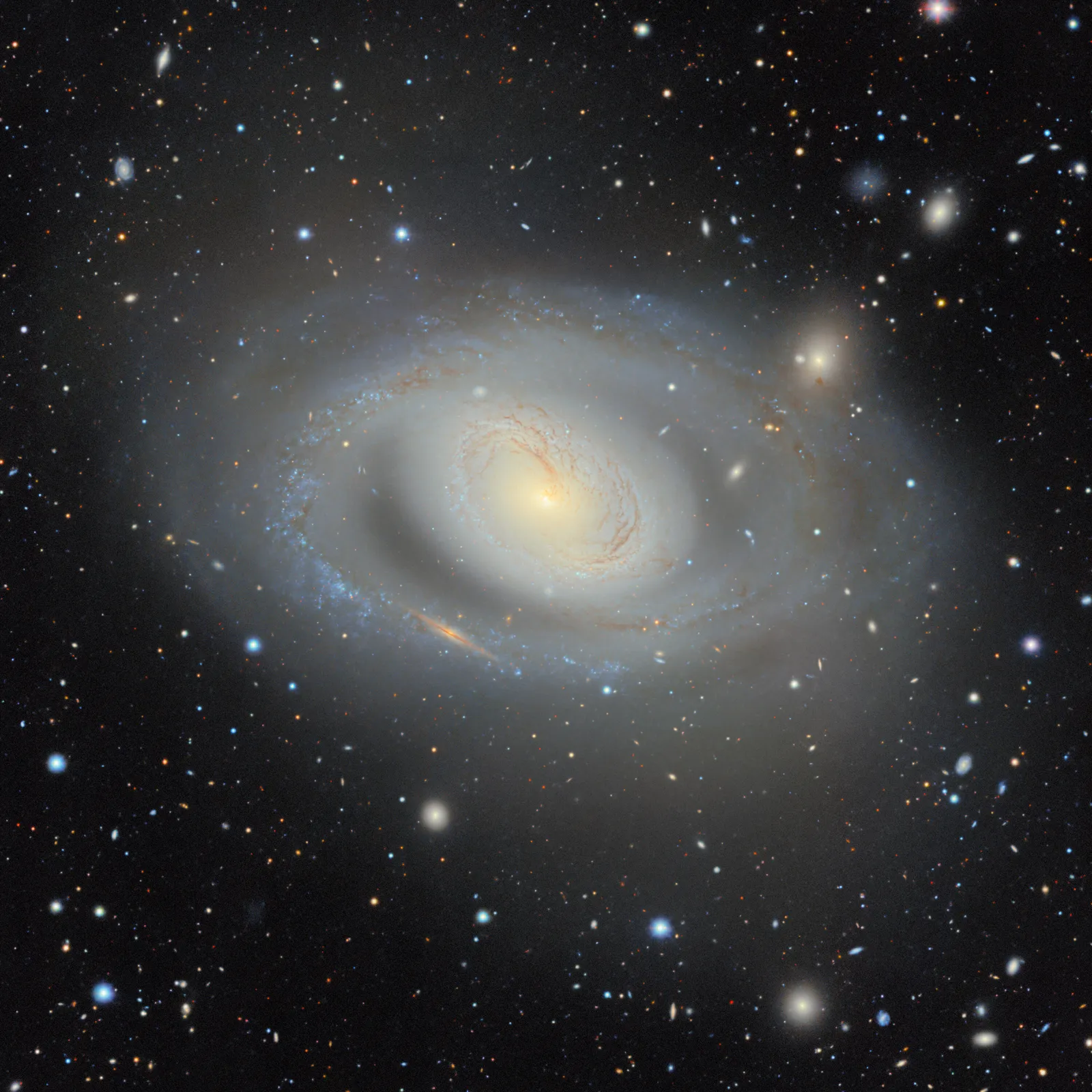
The DESI Legacy Imaging Surveys team has released the largest two-dimensional map of the Universe ever created. Thirteen years in the making, it combines observations from three ground-based telescopes into a map spanning 5.6 trillion pixels and cataloging nearly 4 billion objects.
What the map contains
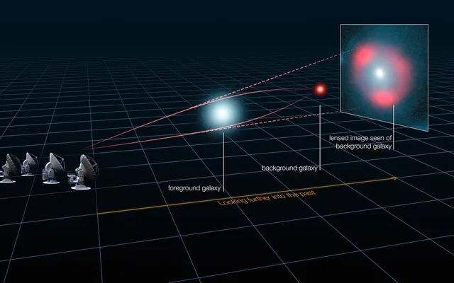
The map records stars, galaxies, black holes, asteroids, supernovae, and gravitational lenses — cases where a massive object bends space-time and distorts the light of whatever lies behind it. Captured in visible and near-infrared light, the data pierce through the dust and stars of our own Milky Way to reveal the deep extragalactic Universe.
The foundation is 263,407 telescope exposures from three surveys. The Dark Energy Camera Legacy Survey (DECaLS) used the 570-megapixel DECam, built by the U.S. Department of Energy and mounted on the 4-meter Blanco telescope in Chile. The Mayall z-band Legacy Survey (MzLS) was conducted with the 4-meter Mayall telescope in Arizona. The third survey, the Beijing-Arizona Sky Survey (BASS), used the 2.3-meter Bok telescope, supplemented with data from NASA's WISE satellite. More than 160 scientists contributed to the project, with a team of 20 producing the final dataset.
Why a flat map matters
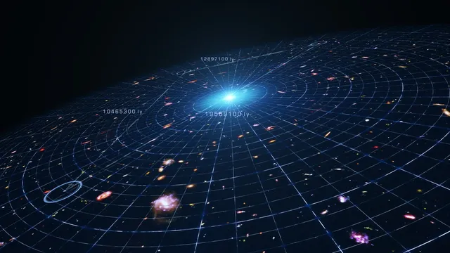
A two-dimensional map is essentially a deep photograph of the sky: it records where galaxies and stars appear and how bright they are. That's not enough to determine distances — a third dimension is needed. That's why this map serves as groundwork for the Dark Energy Spectroscopic Instrument (DESI), which measures light from objects at different wavelengths to calculate distances, building an actual three-dimensional map of the Universe.
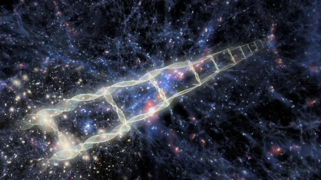
That 3D map lets scientists trace how galaxy clustering has changed across cosmic history, tracking the behavior of dark energy — the force accelerating the Universe's expansion. In April 2026, DESI completed its original five-year survey ahead of schedule, gathering far more objects than expected. Early results hint that dark energy's influence may be weakening over time — a finding that, if confirmed, would reshape predictions about the Universe's fate. DESI plans to publish refined results from its first five years of data in 2027, with observations continuing into 2028.
A tool the whole field relies on
Earlier versions of the Legacy Surveys map have already become a working tool for scientists: more than 1,800 published papers reference the data.
It's part of the fabric of astronomy research now. When you're working with astronomical objects today, you often start by pulling up the Legacy Imaging Viewer to see what you're looking atDavid Schlegel, co-lead of the Legacy Surveys, Lawrence Berkeley National Laboratory
The data are freely accessible through the Legacy Survey Sky Viewer, and the full catalog is available as a searchable database through the Astro Data Lab at the Community Science and Data Center. That means the results are open not just to professional researchers but to amateurs too — for example, to search for rare gravitational lenses or watch for supernova flashes.
What comes next
The map is set to become a reference point for the next generation of observatories. As the NSF-DOE Vera C. Rubin Observatory and NASA's Nancy Grace Roman Space Telescope come online, researchers will be able to compare new observations against one of the deepest and most comprehensive views of the sky ever assembled.
The data will also help train artificial intelligence tools to analyze petabytes of astronomical data. The map will be included in a pilot astrophysics project within the American Science Cloud, part of the Department of Energy's Genesis Mission initiative.